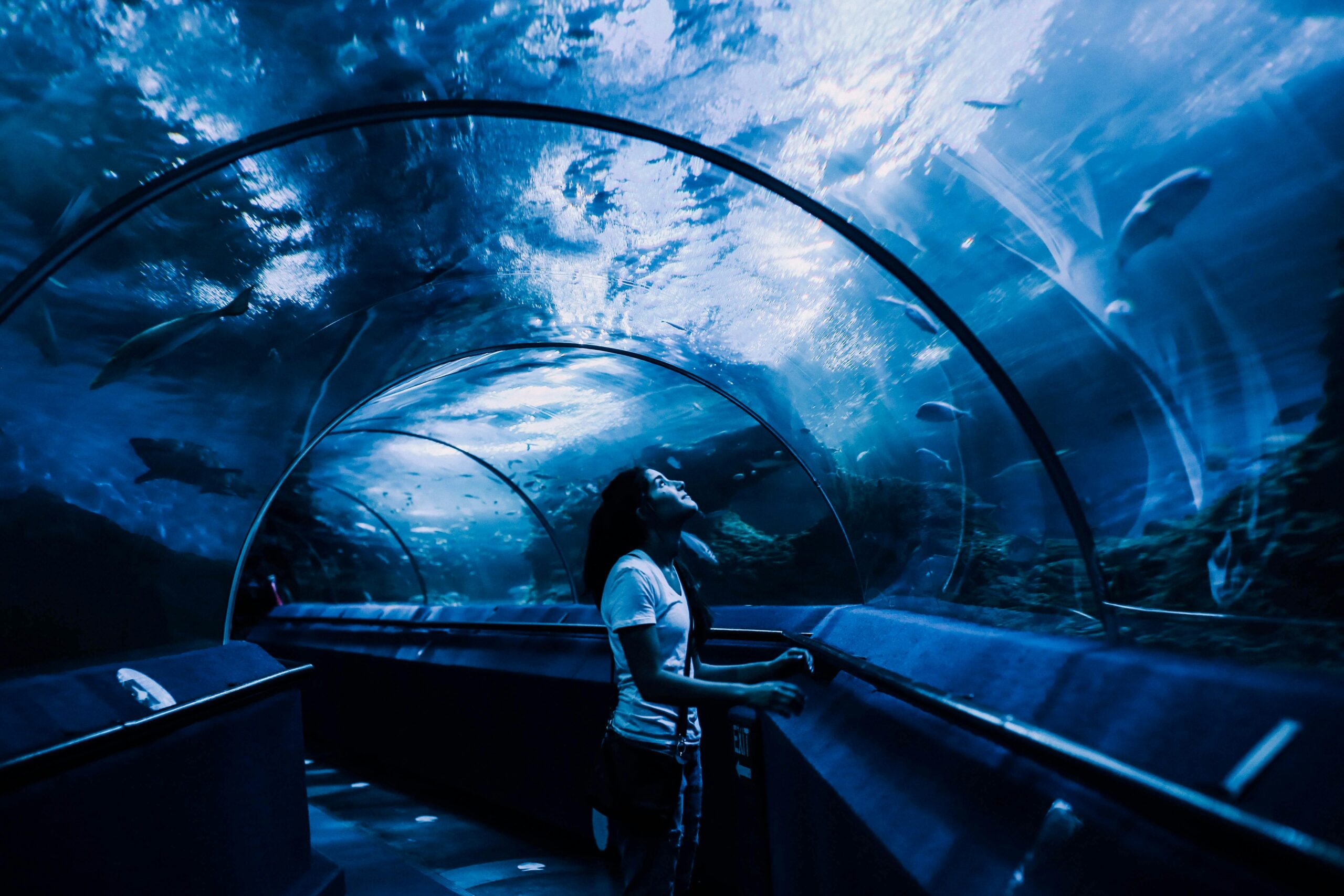
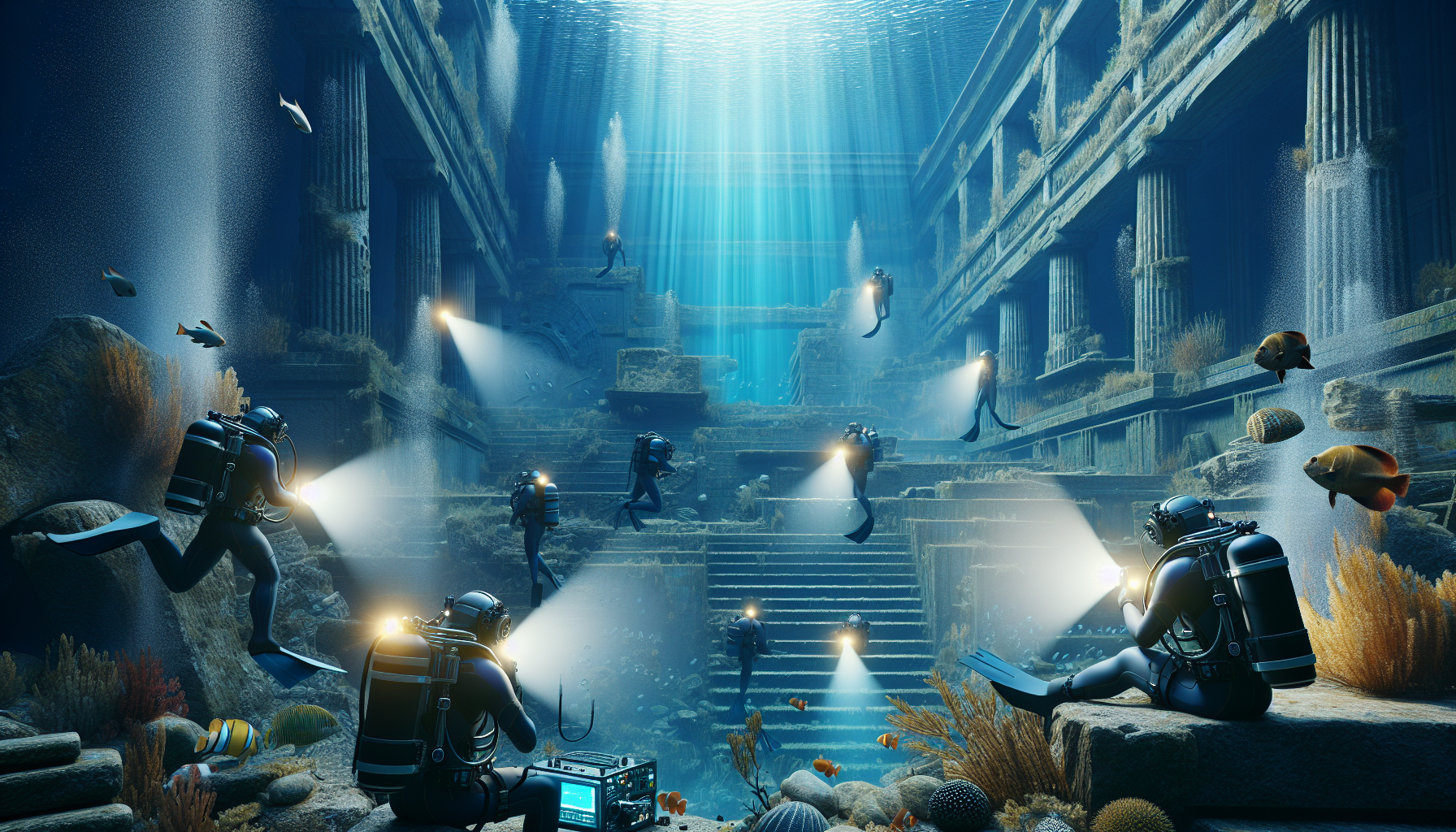
In the silent embrace of the ocean’s depths, where sunlight barely kisses the surface, lie stories untold and worlds forgotten. These submerged realms, often overlooked, hold the secrets of our past, waiting to be uncovered. As we stand on the precipice of a new era in exploration, cutting-edge 3D mapping technologies are offering unprecedented insights into these underwater landscapes. Imagine peering into the past, exploring the remnants of civilizations that once thrived where now only sea creatures roam. These advancements not only redefine our understanding of history but also shape our future interactions with these ancient wonders.
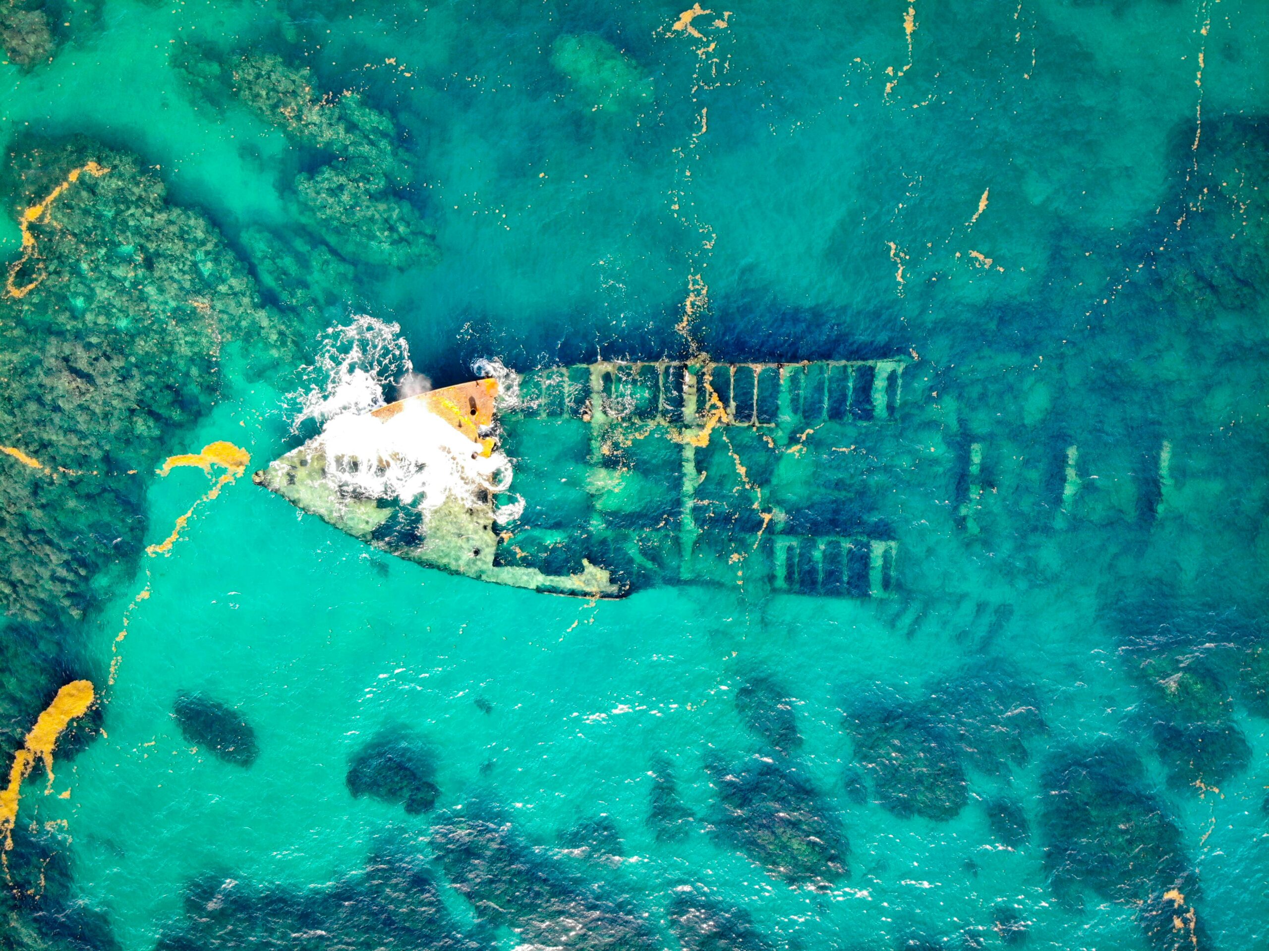
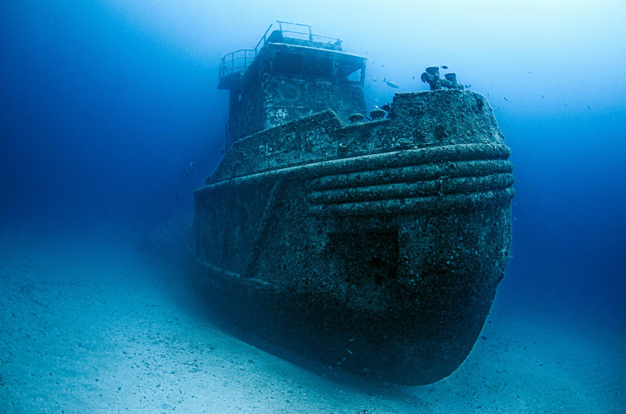
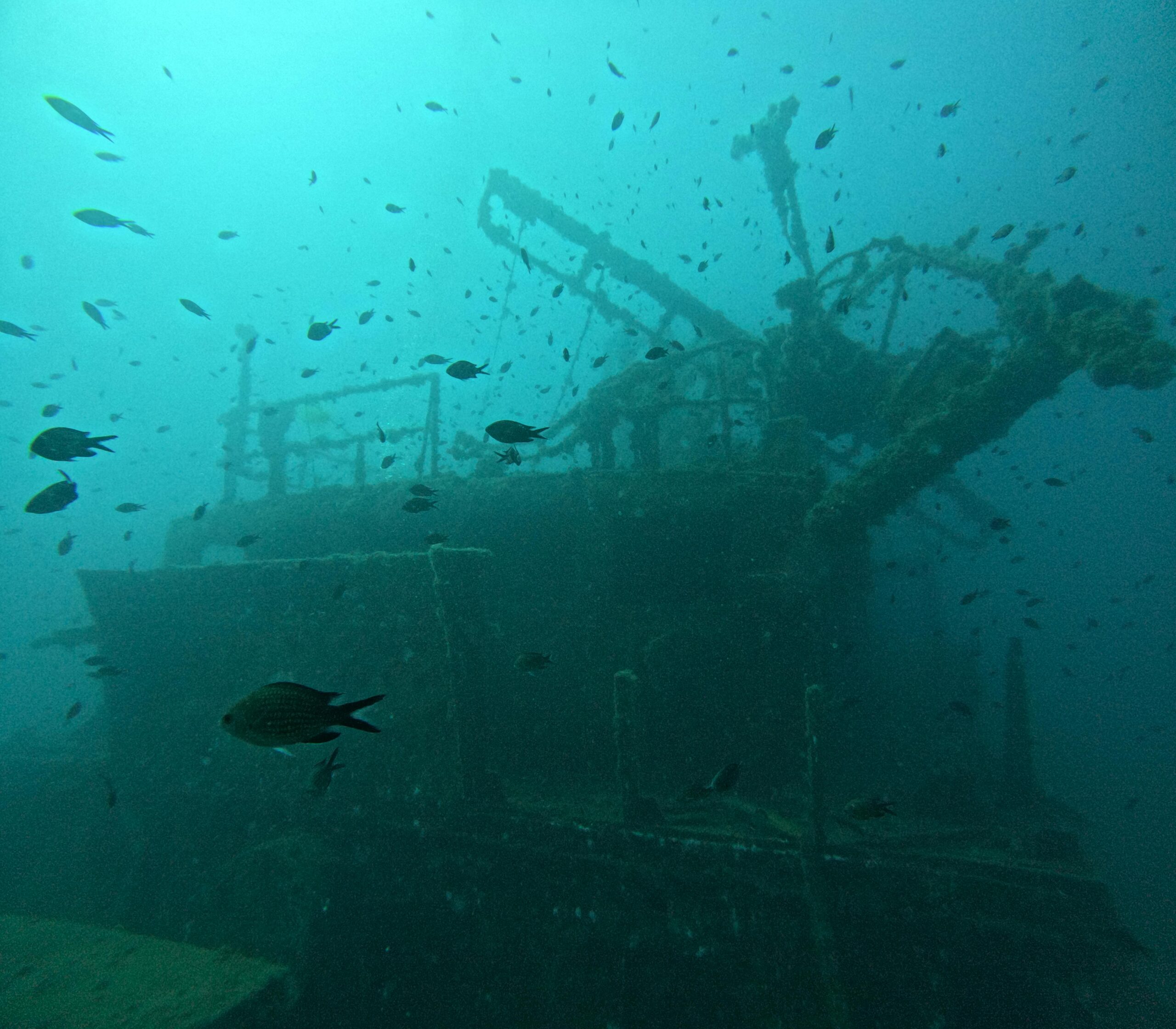
The allure of submerged ruins is irresistible. From sunken cities that once buzzed with life to mysterious shipwrecks resting on the ocean floor, each site is a time capsule waiting to be explored. With traditional exploration methods, many of these locations remained elusive, shrouded in mystery and hidden by the vastness of the oceans. However, the advent of sophisticated 3D mapping technologies is transforming this narrative. These technologies enable researchers to create detailed, accurate models of underwater sites, bringing the hidden details of these lost worlds into sharp focus. As we delve deeper into this article, we will explore how these innovations are changing the way we discover, study, and preserve submerged ruins.
In the pages that follow, we will journey through the fascinating intersection of technology and archaeology. We’ll uncover how modern tools like sonar mapping, autonomous underwater vehicles, and photogrammetry are being used to peel back the layers of time, revealing the intricate tapestry of human history hidden beneath the waves. From case studies of famous underwater discoveries to the ethical considerations and environmental impacts of these explorations, we will cover it all. Join us as we dive into the future of underwater archaeology, where each new discovery not only reshapes our understanding of the past but also inspires the possibilities of what lies ahead. 🌊📜
Understanding the Basics of 3D Mapping Technologies
The advent of 3D mapping technologies has revolutionized the way we explore and understand submerged ruins. By leveraging advanced sonar, lidar, and photogrammetry techniques, researchers can now recreate detailed models of underwater structures, offering unprecedented insights into ancient civilizations and lost worlds. These technologies not only enhance archaeological research but also open new avenues for exploration and preservation. 🌊
Sonar, or Sound Navigation and Ranging, uses sound waves to detect and map objects underwater. It is particularly useful in murky or deep waters where visibility is limited. By emitting sound pulses and measuring the time it takes for the echoes to return, sonar can accurately outline submerged structures. Lidar, on the other hand, uses light in the form of a pulsed laser to measure distances, offering high-resolution mapping capabilities. While lidar is typically used in aerial surveys, recent advancements have enabled its application underwater, albeit with some limitations due to light absorption in water.
Photogrammetry, another essential tool, involves taking numerous photographs from different angles and stitching them together to create a 3D model. This method is invaluable for capturing intricate details of ruins, such as carvings or inscriptions. When combined, these technologies provide a comprehensive view of submerged sites, allowing researchers to study them in situ without the need for physical excavation, which can be both costly and potentially damaging to fragile artifacts.
Technological Innovations and Their Impact on Archaeology
The integration of these technologies in archaeological research has ushered in a new era of discovery. One significant advantage is the ability to conduct non-invasive surveys, which preserve the integrity of sites while still allowing for detailed analysis. Moreover, 3D models can be shared with scholars worldwide, fostering collaboration and expanding our collective understanding of historical contexts. This democratization of data is crucial for advancing the field of archaeology and ensuring that valuable insights are not limited to a select few.
Additionally, these technologies enable the creation of virtual tours, bringing history to life for the general public. By engaging with interactive models, individuals can explore ancient cities and structures from the comfort of their homes, fostering a greater appreciation for cultural heritage. For instance, organizations like the National Geographic Society have employed 3D mapping to document and share their findings, captivating audiences and encouraging interest in archaeological studies.
Watch this fascinating video from National Geographic: 3D Mapping of Ancient Submerged Cities.
The Role of 3D Mapping in Preserving Submerged Ruins
Preservation of submerged ruins poses unique challenges, as these sites are often subject to natural deterioration processes, such as corrosion, biological growth, and sediment accumulation. 3D mapping technologies play a pivotal role in monitoring these changes over time, allowing for the development of targeted conservation strategies. By comparing models from different periods, researchers can identify areas at risk and prioritize interventions accordingly. 🏛️
Moreover, these technologies facilitate the documentation of sites that may be threatened by climate change or human activity. Rising sea levels and coastal development can lead to the loss of valuable archaeological sites, but with accurate 3D models, researchers can preserve the knowledge and cultural significance of these locations even if the physical structures are compromised. This digital preservation ensures that future generations can access and learn from these important remnants of history.
Applications in Modern Conservation Efforts
Several initiatives have successfully integrated 3D mapping into their conservation efforts. For instance, the use of photogrammetry to monitor the condition of shipwrecks in the Baltic Sea has provided insights into the rate of deterioration, enabling more effective conservation measures. Similarly, lidar and sonar technologies have been employed to map coral reefs, assisting in the protection of these vital ecosystems.
These applications highlight the versatility and utility of 3D mapping technologies beyond traditional archaeological contexts. By providing detailed and accurate data, they empower researchers, conservationists, and policymakers to make informed decisions regarding the management and preservation of submerged ruins and their surrounding environments.
Comparative Analysis of 3D Mapping Technologies
To better understand the capabilities and limitations of different 3D mapping technologies, it is useful to compare their features. The table below provides a comparison of sonar, lidar, and photogrammetry in terms of their applications, strengths, and challenges:
| Technology | Applications | Strengths | Challenges |
|---|---|---|---|
| Sonar | Underwater mapping, navigation | Effective in low visibility, deep waters | Resolution limited by sound wave frequency |
| Lidar | Aerial and underwater surveys | High resolution, detailed mapping | Limited by light absorption in water |
| Photogrammetry | Detailed modeling, archaeology | Captures intricate details, non-invasive | Requires clear water and good lighting |
By examining this table, it becomes evident that each technology has its unique advantages and constraints, making them suitable for different scenarios. Researchers often employ a combination of these methods to maximize the accuracy and detail of their surveys.
Future Directions and Innovations
The field of 3D mapping is continuously evolving, with ongoing research aimed at enhancing existing technologies and developing new methodologies. Innovations such as autonomous underwater vehicles (AUVs) equipped with advanced sensors are pushing the boundaries of what is possible, allowing for more efficient and comprehensive mapping of vast areas. Furthermore, advancements in machine learning and artificial intelligence are enabling the automated analysis of complex data sets, reducing the time and effort required for interpretation.
As these technologies continue to mature, their potential applications will expand, opening new frontiers in the exploration of submerged ruins and beyond. By staying at the forefront of these developments, researchers and conservationists can ensure that we continue to uncover the secrets of our past and protect these invaluable cultural treasures for the future.
For more insights into the future of 3D mapping technologies, consider watching this video from the Science Channel: The Next Generation of 3D Mapping.
Conclusion
The exploration of submerged ruins through advanced 3D mapping technologies opens up a new frontier in archaeology, offering us unprecedented insights into the ancient world. Throughout this article, we’ve delved into the transformative power of these technologies, examining how they enable archaeologists and researchers to uncover, preserve, and understand the secrets of long-lost civilizations lying beneath the ocean’s surface. By using cutting-edge tools such as LiDAR, sonar imaging, and photogrammetry, we are not only expanding our knowledge of historical environments but also preserving them for future generations.
A key point highlighted in our discussion is the precision and non-invasiveness of these technologies. Unlike traditional excavation methods, 3D mapping allows for the preservation of sites in their current state, minimizing human impact and maintaining their historical integrity. This approach is crucial in fragile underwater environments, where physical disturbance can lead to the loss of invaluable information. As such, these techniques are setting a new standard in archaeological practices, prioritizing sustainability and conservation.
Another significant aspect we’ve explored is the role of interdisciplinary collaboration. The integration of technology with archaeology has fostered partnerships across various fields, including marine biology, geology, and computer science. This cross-disciplinary approach enhances our ability to interpret the data collected, providing a more comprehensive understanding of submerged sites. By combining expertise, we are not only piecing together the past but also pushing the boundaries of what is possible in research and exploration.
Furthermore, the democratization of knowledge through these technologies cannot be overstated. By creating detailed 3D models and virtual reconstructions, we are making these underwater wonders accessible to a global audience. Educational institutions, museums, and even the general public can now explore these sites remotely, fostering a greater appreciation and understanding of our shared heritage. This accessibility also encourages public engagement and support for the preservation of these important sites.
In reinforcing the importance of 3D mapping technologies in uncovering submerged ruins, we must also consider the future implications. As climate change and rising sea levels threaten many coastal and underwater sites, these technologies provide a vital means of documentation and preservation. By capturing these sites in high detail, we are creating a digital archive that can withstand the test of time, ensuring that these cultural treasures are not lost to the depths of the ocean.
In conclusion, the advancements in 3D mapping technologies are revolutionizing the way we explore and understand submerged ruins. They offer a powerful tool for preserving history, fostering interdisciplinary collaboration, and democratizing access to knowledge. As we continue to develop and refine these technologies, we are not only uncovering lost worlds but also shaping the future of archaeological research.
We invite you, our reader, to reflect on the incredible potential these technologies hold. Whether you are a student, researcher, or simply someone with a passion for history, there is much to learn and discover. We encourage you to share this knowledge with others, engage in discussions, and explore how you can contribute to this exciting field. Together, we can ensure that the stories of the past are not only uncovered but also celebrated and preserved for future generations. 🌊📜
For further reading and to keep up with the latest developments in this field, we recommend visiting resources such as the National Geographic’s Ocean Exploration Program and the UNESCO Underwater Heritage. These platforms provide a wealth of information and ongoing research in the exploration of submerged sites.

Toni Santos is a visual storyteller and archival artist whose work dives deep into the submerged narratives of underwater archaeology. Through a lens tuned to forgotten depths, Toni explores the silent poetry of lost worlds beneath the waves — where history sleeps in salt and sediment.
Guided by a fascination with sunken relics, ancient ports, and shipwrecked civilizations, Toni’s creative journey flows through coral-covered amphorae, eroded coins, and barnacle-encrusted artifacts. Each piece he creates or curates is a visual meditation on the passage of time — a dialogue between what is buried and what still speaks.
Blending design, storytelling, and historical interpretation, Toni brings to the surface the aesthetics of maritime memory. His work captures the textures of decay and preservation, revealing beauty in rust, ruin, and ruin’s resilience. Through his artistry, he reanimates the traces of vanished cultures that now rest on ocean floors, lost to maps but not to meaning.
As the voice behind Vizovex, Toni shares curated visuals, thoughtful essays, and reconstructed impressions of archaeological findings beneath the sea. He invites others to see underwater ruins not as remnants, but as thresholds to wonder — where history is softened by water, yet sharpened by myth.
His work is a tribute to:
The mystery of civilizations claimed by the sea
The haunting elegance of artifacts lost to time
The silent dialogue between water, memory, and stone
Whether you’re drawn to ancient maritime empires, forgotten coastal rituals, or the melancholic beauty of sunken ships, Toni welcomes you to descend into a space where the past is submerged but never silenced — one relic, one current, one discovery at a time.