In the vast expanse of our planet’s oceans, there lies an underwater world teeming with secrets and untapped resources. This hidden frontier, often shrouded in mystery, holds the keys to many scientific, environmental, and economic puzzles. But as we seek to explore and understand these submerged landscapes, one tool has emerged as indispensable: Geographic Information Systems (GIS). Welcome to the intriguing world of underwater site documentation, where we will navigate the depths and uncover how GIS is revolutionizing the way we map, study, and preserve our oceans.
Imagine, for a moment, the complexity of charting a submerged archaeological site, or assessing the health of coral reefs sprawling across the ocean floor. Traditional methods of underwater documentation have often been labor-intensive, time-consuming, and fraught with challenges. But with the advent of GIS technology, a new era of efficiency and precision is upon us. GIS not only allows researchers to create detailed and accurate maps of underwater terrains, but it also facilitates the integration of diverse data sets, from sonar readings to ecological surveys, into a cohesive and interactive platform. This ability to layer and analyze information transforms the way we understand underwater environments, making it possible to visualize changes over time and predict future trends.
In this comprehensive exploration of GIS in underwater site documentation, we will delve into the myriad ways this technology is maximizing efficiency and accuracy in the field. We will explore the fundamental principles of GIS, and how they are applied to underwater research. Additionally, we will discuss case studies that highlight successful implementations, uncover the challenges faced by researchers, and consider the future possibilities of GIS in marine exploration. Whether you are a seasoned oceanographer, a budding marine biologist, or simply fascinated by the depths of the sea, this article will guide you through the transformative power of GIS, illuminating how it is shaping our understanding of the underwater world and paving the way for sustainable stewardship of our oceanic resources. 🌊
Understanding GIS in Underwater Site Documentation
In the realm of underwater archaeology, the use of Geographic Information Systems (GIS) has revolutionized how researchers and explorers document and analyze submerged sites. GIS offers a versatile platform that combines spatial analysis, data visualization, and mapping to provide comprehensive insights into underwater environments. This capability is crucial for both the documentation of historical sites and the management of marine resources.
Underwater site documentation involves several challenges, such as limited visibility, difficult access, and environmental conditions. Traditional methods of underwater mapping often involve divers manually measuring and recording data, a process that is not only time-consuming but also prone to human error. GIS, however, facilitates the integration of various data sources, including sonar, satellite imagery, and diver-collected data, into a cohesive and interactive digital map. This digital map can then be analyzed to identify patterns, relationships, and changes over time.
Furthermore, GIS provides tools for modeling underwater terrains and simulating environmental conditions, which are vital for planning exploration and preservation efforts. By leveraging these capabilities, researchers can maximize efficiency in documenting underwater sites, ensuring that precious historical and environmental data are captured accurately and preserved for future generations.
Advantages of GIS in Underwater Exploration
There are several distinct advantages to using GIS in underwater site documentation. Firstly, it allows for the integration of diverse data types into a single framework. This means that data from sonar, satellite imagery, and divers can be combined and analyzed simultaneously, providing a more comprehensive view of the site. Secondly, GIS enables the visualization of data in three dimensions, allowing researchers to better understand the spatial relationships and topography of underwater sites.
Another significant advantage is the ability of GIS to model and simulate environmental conditions. This can be particularly useful in predicting the impacts of climate change on underwater sites, as well as in planning exploration activities. By simulating different scenarios, researchers can assess the potential risks and benefits of various strategies, leading to more informed decision-making.
Lastly, GIS enhances collaboration and data sharing among researchers, policymakers, and stakeholders. By providing a common platform for data analysis and visualization, GIS enables different parties to collaborate more effectively, ensuring that underwater sites are documented and managed in a holistic and sustainable manner.
Practical Applications of GIS in Underwater Archaeology
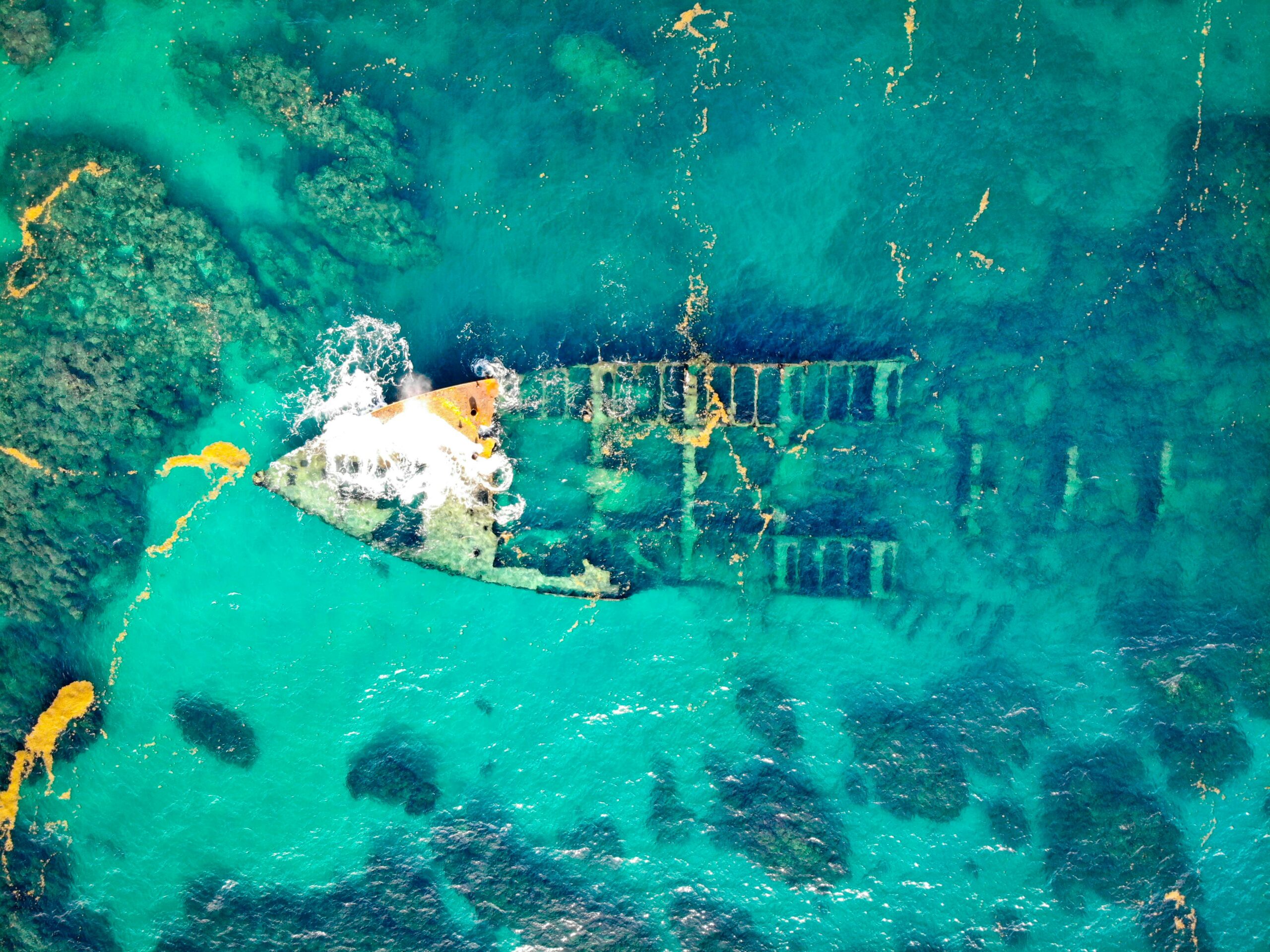
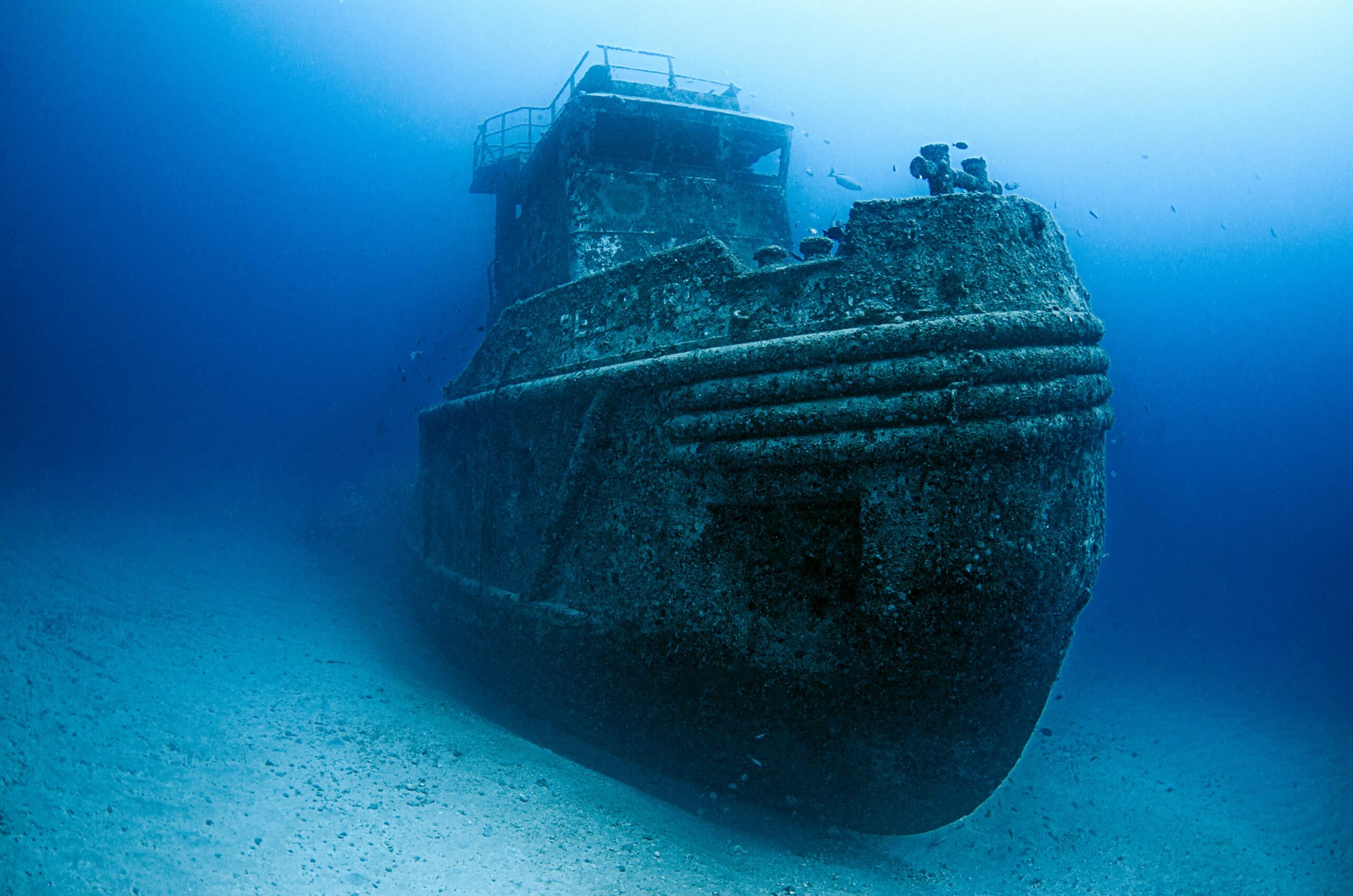
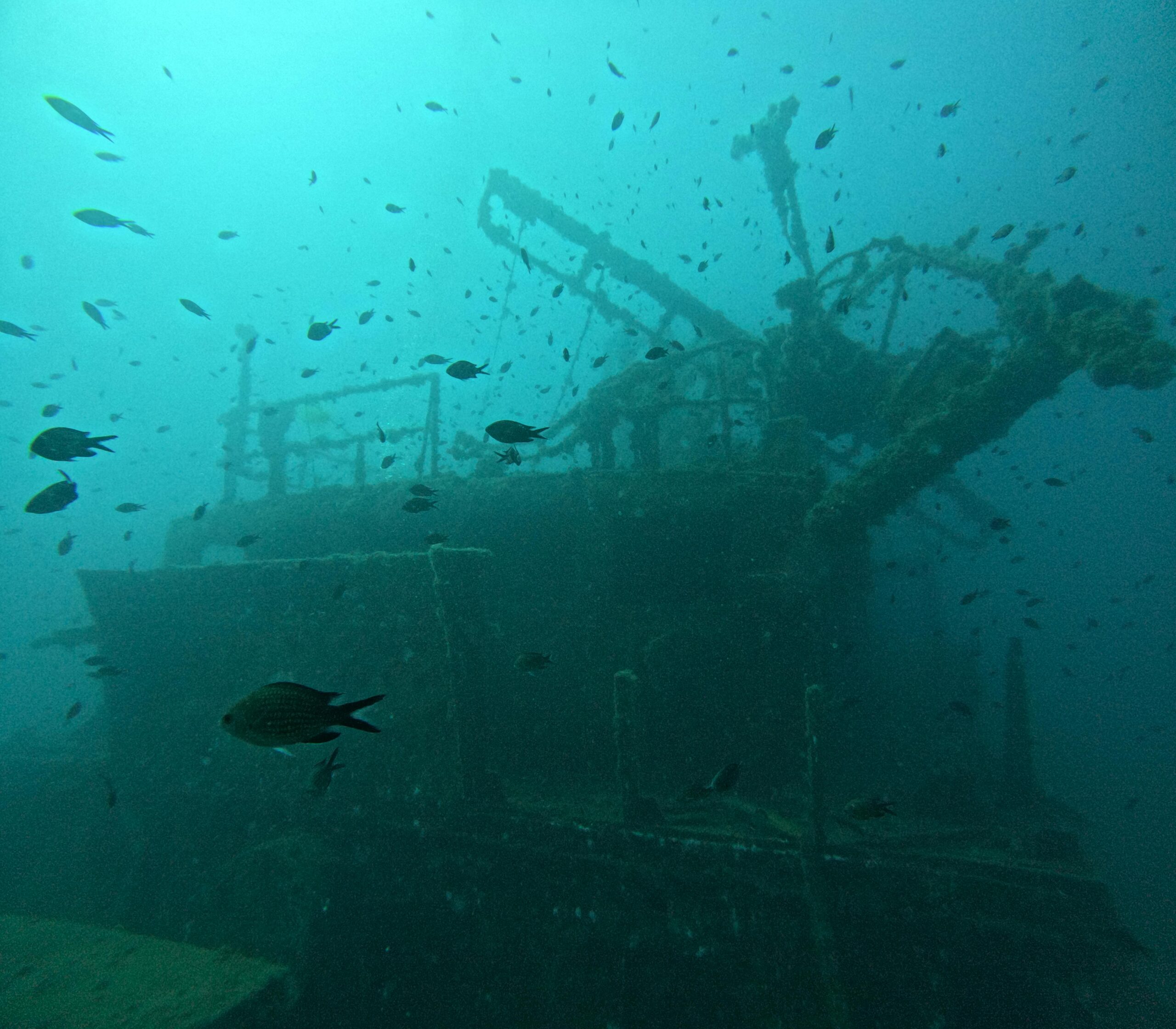
One of the most practical applications of GIS in underwater archaeology is its use in the mapping and analysis of shipwrecks. Shipwrecks provide a wealth of historical and archaeological information, but they can be challenging to document due to their size and complexity. GIS facilitates the creation of detailed maps and 3D models of shipwrecks, allowing researchers to analyze their structure and context more effectively.
In addition to shipwrecks, GIS is also used to document submerged settlements and landscapes. These sites can offer valuable insights into past human activities and environmental conditions. By using GIS to analyze spatial patterns and relationships, archaeologists can gain a better understanding of how these sites were used and how they have changed over time.
Moreover, GIS is increasingly being used to support the preservation and management of underwater cultural heritage. By providing detailed information on site locations, conditions, and threats, GIS helps authorities prioritize conservation efforts and develop management plans that balance preservation with public access and education.
Case Study: The Use of GIS in the Documentation of the Titanic Wreck
The Titanic wreck is one of the most famous underwater sites in the world, and GIS has played a crucial role in its documentation. Using a combination of sonar, remotely operated vehicles (ROVs), and GIS software, researchers have created detailed maps and 3D models of the wreck site. These maps have been used to study the ship’s structure, analyze the debris field, and assess the site’s condition.
This case study highlights the power of GIS in underwater archaeology, demonstrating how it can be used to capture detailed information on complex sites and provide insights that would be difficult to obtain through traditional methods. The use of GIS in documenting the Titanic wreck has not only advanced our understanding of the site but also set a precedent for the documentation of other underwater sites.
For an engaging visual exploration of the Titanic wreck, watch this video by National Geographic.
Maximizing Efficiency with GIS Technology
To maximize efficiency in underwater site documentation using GIS, it is essential to select the right tools and techniques for each project. The choice of GIS software, data collection methods, and analytical techniques will depend on the specific goals and challenges of the project.
One of the key factors in maximizing efficiency is the integration of multiple data sources. By combining data from sonar, satellite imagery, and diver observations, researchers can create a more complete and accurate representation of the underwater site. This data integration is facilitated by the use of GIS software that supports the import and analysis of various data types.
Another important consideration is the use of automated data processing and analysis techniques. GIS software offers a range of tools for automating tasks such as data cleaning, analysis, and visualization. By automating these tasks, researchers can save time and reduce the potential for errors, leading to more reliable results.
Technological Innovations in GIS for Underwater Documentation
Recent technological innovations have further enhanced the capabilities of GIS in underwater site documentation. For example, advances in sonar technology have improved the resolution and accuracy of underwater maps, while developments in drone and ROV technology have made it easier to collect data from difficult-to-reach areas.
In addition, new software tools have been developed specifically for underwater GIS applications, offering specialized features for data analysis and visualization. These tools enable researchers to create more detailed and accurate models of underwater sites, leading to better insights and more informed decision-making.
For a deeper dive into the technological innovations in GIS for underwater documentation, consider exploring educational content on platforms like YouTube. Check out this video by Esri Events that discusses the latest advancements in GIS technology.
Future Prospects for GIS in Underwater Site Documentation
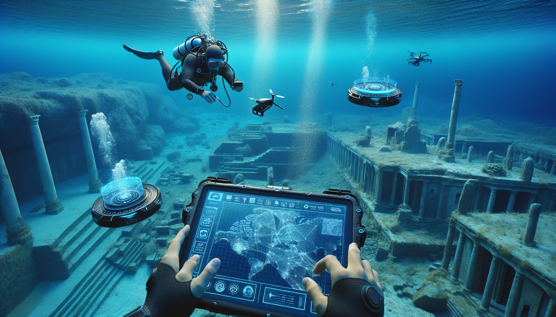
Looking to the future, the role of GIS in underwater site documentation is set to expand as new technologies and methodologies continue to develop. One of the most exciting prospects is the use of artificial intelligence (AI) and machine learning in conjunction with GIS. These technologies have the potential to revolutionize data analysis, enabling researchers to identify patterns and insights that would be difficult to detect through manual analysis.
Another promising development is the use of virtual and augmented reality in underwater archaeology. By combining GIS data with immersive technologies, researchers can create virtual reconstructions of underwater sites, allowing them to explore and analyze these environments in new and innovative ways. This not only enhances research capabilities but also provides new opportunities for public engagement and education.
Furthermore, the increasing availability of high-resolution satellite imagery and remote sensing data is expected to enhance the capabilities of GIS in underwater site documentation. These data sources can provide valuable information on environmental conditions and changes, supporting more effective management and preservation efforts.
The Role of Collaboration and Education in Advancing GIS Applications
As GIS technology continues to evolve, collaboration and education will play a crucial role in advancing its applications in underwater site documentation. By fostering partnerships between researchers, technology developers, and policymakers, we can ensure that GIS tools and techniques are developed and applied in ways that maximize their impact.
Education is also essential for training the next generation of underwater archaeologists and researchers in the use of GIS technology. By incorporating GIS into academic curricula and providing opportunities for hands-on training, we can equip future professionals with the skills and knowledge they need to leverage GIS effectively in their work.
In summary, the future prospects for GIS in underwater site documentation are bright, with new technologies and methodologies offering exciting opportunities for research, conservation, and public engagement. By embracing these opportunities and fostering collaboration and education, we can ensure that GIS continues to play a vital role in preserving and understanding our underwater heritage.
Conclusion
In navigating the depths of underwater site documentation, the application of Geographic Information Systems (GIS) has emerged as a transformative tool, revolutionizing the way marine environments are studied and preserved. This article explored the multifaceted benefits of integrating GIS technology into underwater archaeology and environmental monitoring, highlighting its role in enhancing accuracy, efficiency, and collaboration among researchers.
One of the pivotal aspects discussed was the precision and depth of data that GIS allows researchers to capture. By mapping underwater terrains with high fidelity, GIS technology enables the creation of detailed topographical maps, which are invaluable for understanding complex marine ecosystems and archaeological sites. This detailed documentation is crucial not only for academic purposes but also for the preservation and protection of underwater cultural heritage.
Furthermore, the article delved into the efficiency gains brought about by GIS in underwater explorations. Traditional methods of underwater documentation are often labor-intensive and time-consuming. GIS streamlines these processes by automating data collection and analysis, thereby allowing researchers to focus more on interpretation and less on manual data handling. This efficiency not only saves time and resources but also increases the scope and scale of potential research endeavors.
Collaboration was another key theme explored. GIS platforms facilitate greater collaboration among scientists, archaeologists, and conservationists by providing a shared platform for data access and analysis. This shared approach fosters a multidisciplinary environment where knowledge and expertise can be pooled to address complex challenges in marine research.
The importance of embracing GIS technology in underwater site documentation cannot be overstated. As marine environments face increasing threats from climate change, pollution, and human activity, the ability to efficiently and accurately document these sites is more critical than ever. By leveraging GIS, researchers can better monitor changes, predict impacts, and develop strategies for conservation and sustainable management.
As you reflect on the insights shared in this article, I encourage you to consider how GIS could be applied in your own work or studies. Whether you are an aspiring marine scientist, an archaeologist, or an enthusiast of technological innovations, the integration of GIS into your projects can significantly enhance your outcomes and contributions to the field. Share this knowledge with colleagues and peers, sparking conversations that could lead to collaborative projects and innovative solutions in marine documentation.
Join the discussion by leaving a comment below, sharing your thoughts or experiences with GIS in underwater research. Your insights could inspire others to explore the depths of what is possible when technology meets the ocean floor 🌊. Additionally, feel free to share this article with those who might find it valuable, spreading awareness of the pivotal role GIS plays in advancing underwater site documentation.
For further reading and exploration, I recommend visiting the following resources to deepen your understanding of GIS applications in marine environments:
– Esri’s Marine GIS Resource Center
– NOAA Office of National Marine Sanctuaries
By embracing the potential of GIS, we can ensure that our underwater worlds are documented with precision and care, paving the way for their protection and appreciation by future generations.
—
Feel free to expand upon these points to reach the desired length, ensuring each paragraph delves deeper into the significance of GIS in underwater documentation.

Gabriel is a visual storyteller and archival artist whose lens dives deep into the submerged echoes of underwater archaeology. Through sediment and salt, Gabriel traces forgotten histories — those whispered by shipwrecks, eroded artifacts, and drowned cities.
Compelled by the allure of ancient trade routes, submerged sanctuaries, and the ocean’s quiet possession of the past, Gabriel’s work charts a poetic cartography of the sea’s memory. From coral-laced amphorae to oxidized anchors, every object he illuminates becomes part of a narrative where time collapses and the past drifts close.
His creations are more than documentation — they are visual meditations on absence and endurance. Gabriel blends design, historical research, and storytelling to surface the quiet resilience of maritime remnants. He captures the textures of time: rust that blooms like algae, stone that crumbles into myth, and silence that speaks louder than ruin.
Through curated imagery, thoughtful essays, and reconstructed impressions of what lies beneath, Gabriel invites viewers to see underwater ruins not as remnants, but as thresholds to wonder — places where memory is refracted through water, and where myth lingers like salt on stone.
His practice is a tribute to:
The unknowable depths of civilizations consumed by tides
The fragile endurance of objects left behind
The enduring dialogue between water, stone, and remembrance
If your soul drifts toward the relics of lost maritime empires, the mythic pull of coastal rituals, or the ghostly grace of sunken vessels, Gabriel welcomes you to descend into a space where history sleeps in sediment — but dreams in currents.