Throughout history, many cities have vanished beneath the waves, swallowed by geological forces that continue to reshape our planet in ways both dramatic and subtle.
🌊 The Silent Power Reshaping Our Coastal Civilizations
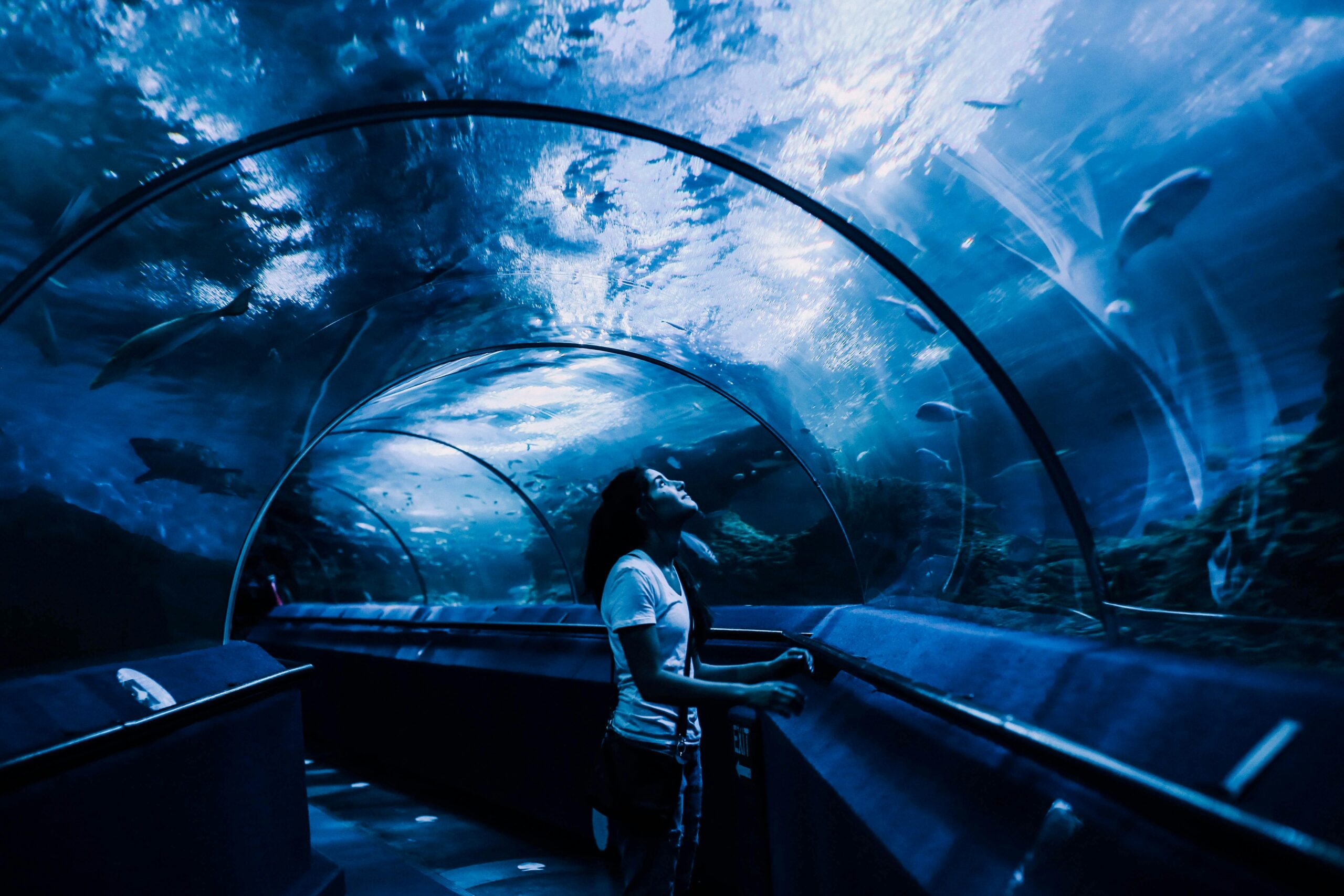
The submergence of cities represents one of the most fascinating yet alarming phenomena in Earth’s geological history. From ancient port cities now resting beneath Mediterranean waters to modern metropolises facing imminent flooding, the forces driving land subsidence and sea level changes have captivated scientists and historians alike. Understanding these geological mechanisms is not merely an academic exercise—it’s essential for protecting the billions of people living in vulnerable coastal regions worldwide.
The relationship between geological forces and urban submergence is complex, involving multiple interconnected processes that operate across vastly different timescales. Tectonic plate movements, groundwater extraction, sediment compaction, and volcanic activity all contribute to vertical land motion that can either elevate or depress Earth’s surface. When combined with rising sea levels driven by climate change, these geological forces create scenarios where entire cities face the threat of permanent inundation.
Tectonic Forces: The Earth’s Restless Foundation
Tectonic plate movements constitute the most fundamental geological force affecting land elevation globally. The Earth’s lithosphere consists of several major and minor plates constantly moving at rates ranging from millimeters to centimeters per year. These movements occur along plate boundaries where plates converge, diverge, or slide past one another, generating earthquakes, creating mountain ranges, and causing vertical displacement of land surfaces.
Subduction zones—where one tectonic plate descends beneath another—represent particularly significant areas for land subsidence. Cities built near these zones experience gradual sinking as the overriding plate flexes downward under the weight and drag of the subducting plate. The Pacific Ring of Fire, encircling the Pacific Ocean, contains numerous examples where cities face subsidence risks due to subduction processes.
Japan provides a compelling case study of tectonic subsidence. The country sits at the convergence of four major tectonic plates, making it highly susceptible to both sudden and gradual vertical land movements. Following the 2011 Tōhoku earthquake, portions of the Japanese coastline subsided by more than one meter, permanently inundating previously habitable areas and increasing flood vulnerability for coastal communities.
🏔️ Isostatic Adjustment: The Slow Rebound Effect
Glacial isostatic adjustment represents another critical tectonic process influencing land elevation. During ice ages, massive glaciers compressed Earth’s crust beneath their weight. As these ice sheets melted, the crust began rebounding upward—a process that continues today, thousands of years after the last glacial maximum.
This phenomenon creates a fascinating geographic pattern: regions formerly covered by thick ice sheets, such as Scandinavia and Canada, continue rising at measurable rates, while peripheral areas that bulged upward during glaciation now subside. This forebulge collapse affects cities along the eastern coast of North America and parts of northern Europe, contributing to relative sea level rise independent of actual ocean volume changes.
Groundwater Extraction: The Anthropogenic Sinking
While tectonic processes operate on geological timescales, human activities can trigger rapid land subsidence within decades or even years. Excessive groundwater extraction ranks among the most significant anthropogenic causes of urban submergence worldwide. When groundwater is pumped from aquifers faster than natural recharge rates, the sediments lose their supporting pore pressure and compact, causing the land surface above to sink.
Jakarta, Indonesia’s capital city, exemplifies this crisis dramatically. The metropolis sinks at rates reaching 25 centimeters annually in some districts—among the fastest subsidence rates globally. Decades of unregulated groundwater pumping have compacted the underlying sediments, lowering vast urban areas and increasing flood vulnerability. Northern Jakarta, already below sea level in many neighborhoods, faces existential threats from combined subsidence and sea level rise.
Mexico City presents another striking example of subsidence driven by aquifer depletion. Built on ancient lake beds with highly compressible clay-rich sediments, the city has sunk more than nine meters in some areas since the early 20th century. This dramatic subsidence damages infrastructure, creates uneven settlement patterns, and increases flooding risks during the rainy season.
The Compaction Process: Understanding Sediment Mechanics
The mechanism behind subsidence from groundwater extraction involves fundamental soil mechanics principles. Aquifer systems in sedimentary basins consist of alternating layers of permeable materials (sand, gravel) and less permeable materials (clay, silt). When groundwater is removed, the effective stress on sediment grains increases, causing mechanical compaction.
Clay layers experience particularly severe compaction because their fine grain size and mineralogy make them highly compressible. Once compacted, these materials rarely regain their original volume, making subsidence from groundwater extraction largely irreversible. This permanent deformation distinguishes anthropogenic subsidence from elastic deformation associated with seasonal groundwater fluctuations.
Sediment Loading and Deltaic Subsidence 🏞️
River deltas represent some of Earth’s most dynamic and densely populated landscapes, yet they’re also among the most vulnerable to submergence. Delta subsidence results from multiple processes, including sediment compaction under its own weight, reduced sediment supply due to upstream dams, and accelerated compaction from fluid extraction.
The Mississippi River Delta illustrates these processes clearly. Louisiana loses approximately one football field of land every 100 minutes to submergence and erosion—a crisis driven by natural compaction, reduced sediment delivery, and oil and gas extraction. New Orleans, built largely on compacted delta sediments, sits mostly below sea level, protected only by an elaborate levee system increasingly challenged by ongoing subsidence.
The Ganges-Brahmaputra Delta in Bangladesh faces similar challenges but with even higher population density. Home to over 150 million people, this vast delta system experiences subsidence rates ranging from 2 to 18 millimeters annually. Combined with rising sea levels and increased cyclone intensity, subsidence threatens to displace millions in coming decades, creating one of the world’s most severe climate migration scenarios.
The Role of Sediment Supply Disruption
Natural delta building depends on continuous sediment delivery from upstream river systems. This fresh sediment compensates for ongoing compaction, maintaining delta elevation relative to sea level. However, dam construction on major rivers worldwide has drastically reduced sediment reaching deltas, eliminating this natural compensation mechanism.
The Nile Delta demonstrates this disruption dramatically. Since the Aswan High Dam’s completion in 1970, sediment delivery to the delta has decreased by approximately 98%. Without this sediment supply, natural compaction proceeds unopposed, causing delta subsidence and coastal erosion. Alexandria and other delta cities face increasing submergence risks as this process continues.
Volcanic Activity and Caldera Subsidence
Volcanic regions present unique subsidence scenarios related to magma chamber dynamics. When magma withdraws from shallow chambers beneath volcanoes, the overlying ground can subside dramatically, creating bowl-shaped depressions called calderas. While this process typically occurs catastrophically during major eruptions, gradual subsidence also happens during quiescent periods as magma redistributes within volcanic systems.
The Campi Flegrei caldera near Naples, Italy, showcases ongoing volcanic subsidence and uplift cycles. This active volcanic system experiences bradyseism—alternating periods of ground inflation and deflation driven by magmatic processes. The port town of Pozzuoli, located within the caldera, has experienced vertical movements exceeding three meters over recent decades, requiring periodic evacuation and adaptation of coastal infrastructure.
⚡ Measuring Land Motion: Technologies Revealing Hidden Changes
Understanding subsidence requires precise measurement techniques capable of detecting millimeter-scale changes across extensive areas. Modern technology has revolutionized our ability to monitor vertical land motion, providing crucial data for understanding geological processes and planning adaptation strategies.
GPS and GNSS (Global Navigation Satellite Systems) continuously monitor ground positions with remarkable precision. Networks of permanent stations track three-dimensional movements, revealing subsidence patterns and distinguishing tectonic signals from anthropogenic effects. These measurements have confirmed subsidence rates in major cities and quantified tectonic deformation along plate boundaries.
Interferometric Synthetic Aperture Radar (InSAR) technology represents perhaps the most significant advancement in subsidence monitoring. Satellite-based InSAR systems compare radar images acquired at different times, detecting ground surface changes with millimeter precision across areas spanning hundreds of kilometers. This technology has revealed previously unknown subsidence affecting cities worldwide and enabled detailed mapping of deformation patterns.
The Data Revolution in Geological Monitoring
The proliferation of Earth observation satellites has created unprecedented opportunities for studying land subsidence globally. Multiple satellite missions now provide InSAR data at sufficient temporal and spatial resolution to track urban subsidence continuously. This data accessibility has democratized subsidence research, enabling scientists worldwide to study geological processes affecting their regions.
Integration of multiple measurement techniques enhances understanding further. Combining InSAR with GPS, tide gauge records, and geological modeling creates comprehensive pictures of vertical land motion and its driving mechanisms. These integrated approaches distinguish between shallow compaction from groundwater extraction and deeper tectonic processes, informing targeted intervention strategies.
🌍 Cities on the Brink: Global Subsidence Hotspots
Numerous major cities worldwide face significant subsidence threats, each with unique geological contexts and driving mechanisms. Identifying and understanding these hotspots is crucial for global risk assessment and adaptation planning.
- Bangkok, Thailand: Sinking up to 2 centimeters annually due to groundwater extraction and sediment compaction in the Chao Phraya Delta
- Venice, Italy: Experiencing combined effects of tectonic subsidence, sediment compaction, and groundwater extraction, exacerbated by rising Adriatic Sea levels
- Shanghai, China: Historical subsidence exceeded 2.6 meters before groundwater restrictions; continued sinking threatens this megacity despite management efforts
- Houston, USA: Subsidence from groundwater and oil extraction has created areas more than three meters lower than historical elevations
- Manila, Philippines: Parts of the metropolitan area sink up to 10 centimeters annually, increasing flood vulnerability for millions
The Climate Change Multiplier Effect
While geological subsidence alone poses serious challenges, climate-driven sea level rise amplifies these threats dramatically. Relative sea level rise—the combination of absolute sea level increase and local land subsidence—determines actual flood risk for coastal cities. In subsiding areas, relative sea level rise can exceed global averages by factors of three to ten.
This multiplication effect creates asymmetric vulnerability distributions globally. Cities experiencing rapid subsidence face 21st-century relative sea level rise potentially reaching one meter or more, even under moderate emissions scenarios. These rates far exceed what most coastal infrastructure was designed to withstand, necessitating expensive adaptation measures or, in extreme cases, managed retreat.
The Intergovernmental Panel on Climate Change (IPCC) increasingly recognizes vertical land motion as a critical factor in coastal risk assessments. Recent reports emphasize that subsidence can dominate local sea level rise signals, particularly in river deltas and areas with intensive groundwater extraction. Accurate subsidence measurements are therefore essential for realistic flood risk projections and adaptation planning.
🔬 Future Projections and Uncertainty Ranges
Projecting future subsidence presents significant challenges due to complex interactions between geological processes, human activities, and climate feedbacks. Tectonic subsidence rates remain relatively predictable based on plate motion models, but anthropogenic subsidence depends on future groundwater management, urban development patterns, and regulatory enforcement.
Scenario modeling suggests that without aggressive groundwater management, many subsiding cities could experience additional meters of land lowering by 2100. However, successful interventions in cities like Tokyo and Osaka demonstrate that subsidence can be slowed or halted through aquifer recharge programs, alternative water sources, and groundwater pumping restrictions.
Mitigation Strategies: Engineering Against Gravity
Addressing urban subsidence requires multifaceted approaches combining geological understanding, engineering innovation, and policy implementation. Effective strategies vary depending on subsidence mechanisms and local contexts.
Groundwater management represents the most effective intervention for anthropogenic subsidence. Implementing sustainable pumping rates, developing alternative water sources (desalination, surface water, water recycling), and artificial aquifer recharge can stabilize or even reverse land subsidence in some contexts. Tokyo’s successful subsidence reduction following groundwater regulation demonstrates this approach’s viability.
Structural adaptation includes building elevation, improved drainage systems, and flood barriers. Venice’s MOSE project—a system of mobile barriers across lagoon inlets—exemplifies large-scale engineering responses to combined subsidence and sea level rise. However, such mega-projects require enormous investment and face questions about long-term sustainability.
Looking Beneath to Protect Above 🛡️
The geological forces causing urban submergence operate continuously, reshaping Earth’s surface through processes both ancient and modern. Understanding these mechanisms—from tectonic plate movements to anthropogenic groundwater extraction—is fundamental to protecting vulnerable coastal populations and infrastructure.
As climate change accelerates sea level rise, the interaction between geological subsidence and oceanic expansion creates compound risks demanding urgent attention. Cities sinking while seas rise face exponentially increasing flood frequencies and intensities, threatening social stability, economic productivity, and cultural heritage.
The challenge ahead requires integrated approaches combining geological monitoring, sustainable resource management, climate change mitigation, and adaptive urban planning. Success stories from cities that have slowed subsidence demonstrate that human ingenuity can counter some geological forces, but only with sustained commitment, adequate investment, and international cooperation.
Ultimately, the story of submerging cities reminds us of our planet’s dynamic nature and humanity’s role in accelerating or mitigating geological hazards. By unveiling Earth’s secrets through scientific investigation and responding with evidence-based policies, we can work toward securing coastal cities for future generations, even as the ground beneath them continues its eternal geological dance.

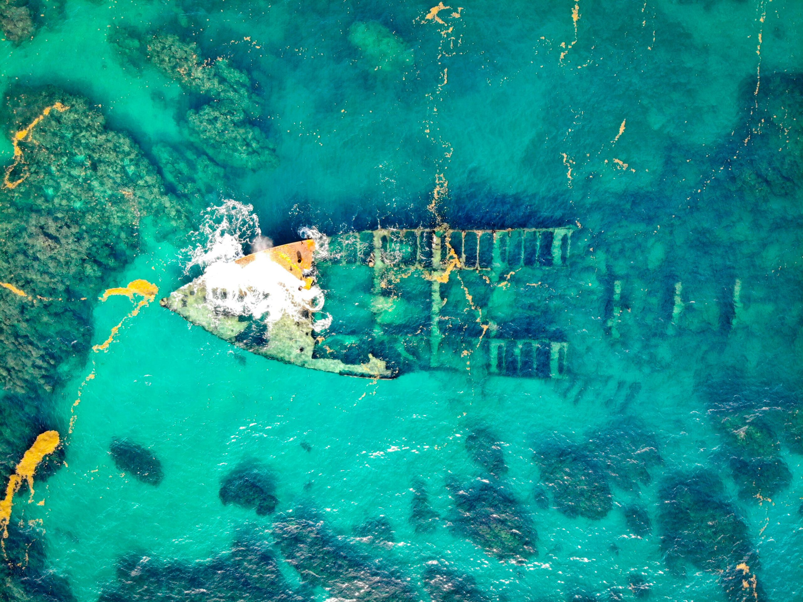
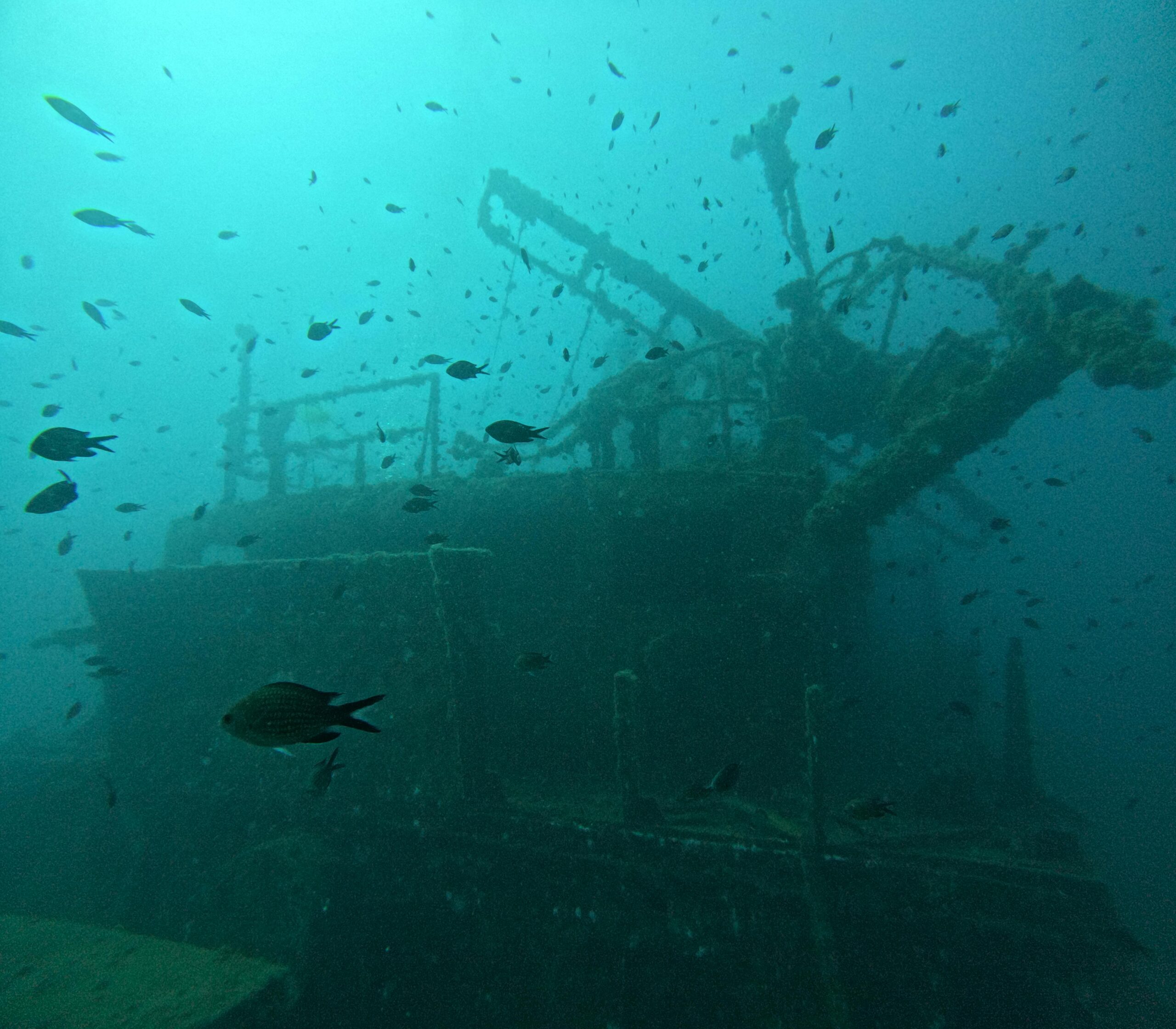
Toni Santos is a visual storyteller and archival artist whose work dives deep into the submerged narratives of underwater archaeology. Through a lens tuned to forgotten depths, Toni explores the silent poetry of lost worlds beneath the waves — where history sleeps in salt and sediment.
Guided by a fascination with sunken relics, ancient ports, and shipwrecked civilizations, Toni’s creative journey flows through coral-covered amphorae, eroded coins, and barnacle-encrusted artifacts. Each piece he creates or curates is a visual meditation on the passage of time — a dialogue between what is buried and what still speaks.
Blending design, storytelling, and historical interpretation, Toni brings to the surface the aesthetics of maritime memory. His work captures the textures of decay and preservation, revealing beauty in rust, ruin, and ruin’s resilience. Through his artistry, he reanimates the traces of vanished cultures that now rest on ocean floors, lost to maps but not to meaning.
As the voice behind Vizovex, Toni shares curated visuals, thoughtful essays, and reconstructed impressions of archaeological findings beneath the sea. He invites others to see underwater ruins not as remnants, but as thresholds to wonder — where history is softened by water, yet sharpened by myth.
His work is a tribute to:
The mystery of civilizations claimed by the sea
The haunting elegance of artifacts lost to time
The silent dialogue between water, memory, and stone
Whether you’re drawn to ancient maritime empires, forgotten coastal rituals, or the melancholic beauty of sunken ships, Toni welcomes you to descend into a space where the past is submerged but never silenced — one relic, one current, one discovery at a time.